Theme & circular hiking trails
Our regional circular trails tell the story of the history, flora, and fauna of the Steinwald Forest and its surroundings. Along the trails, you'll discover rugged cliffs, a unique natural landscape, and untouched paths.
FOREST HISTORY TRAIL
START/FINISH:
Hiking parking lot, Pfaben near Erbendorf
LENGTH: 6 km
Route
Download Flyer
LENGTH: 6 km
ALTITUDE: 204 m
WORTH SEEING:
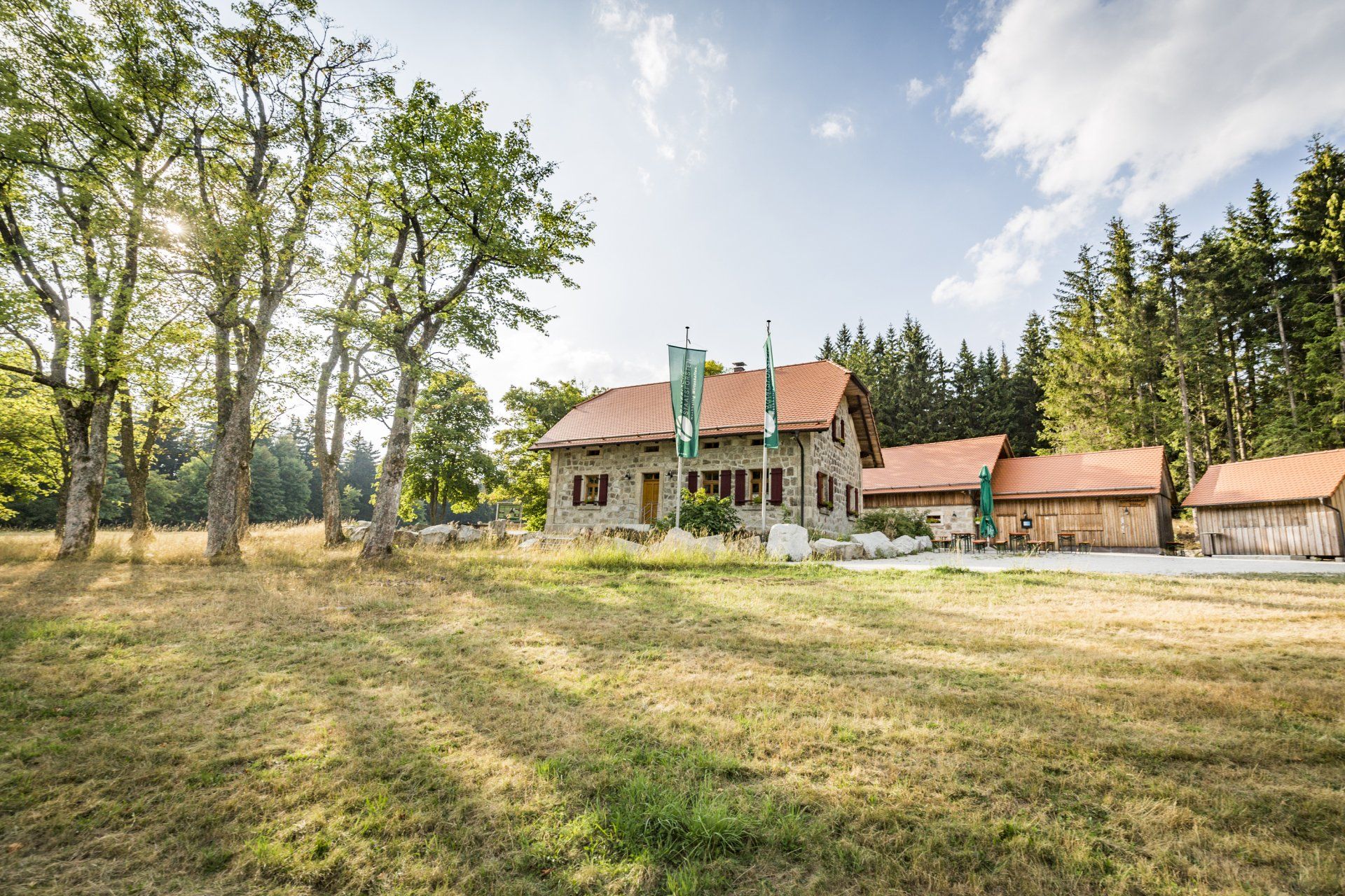
Zipfeltannenfelsen, Saubadfelsen, Palmloh-Moor, red deer enclosure, forest house
The educational trail through the nature park features 13 information panels about the natural beauty, history, and life in the Stone Forest. Here, you'll learn interesting facts about forest management and living conditions at that time.
ROOM PLACE CIRCULAR TRAIL
START/FINISH:
Zimmerplatz on the St2121 Poppenreuth-Friedenfels
LENGTH:3.6 km
Route
LENGTH:3.6 km
ALTITUDE: 118 m
WORTH SEEING:Strudelbach, Grieswiesen, Giant Bowl
The Zimmerplatz circular trail leads 4 kilometers through the Steinwald forest, along streams, to a famous granite rock and a beautiful forest clearing. Eight stations provide information about the species conservation projects, geology, and history of the nature park.
FOREST ADVENTURE TRAIL FUCHSMÜHL
START/FINISH:
Forester's House, Waldstraße 50 or
Forest bathing pond, 95689 Fuchsmühl
LENGTH: 5 km
Route
Download Flyer
LENGTH: 5 km
ALTITUDE: 80 m
WORTH SEEING:
Hackelstein, adventure stations, forest pool
The trail leads through a particularly charming landscape and awakens the spirit of discovery. Forest visitors must always do something at each of the eleven stations to access information: via viewing telescopes, rotating columns, or similar. Curiosity is certainly piqued here!
Tip: Visit the information point of the Steinwald Nature Park at the Fuchsmühl market hall with the Craftwerk Tree, which explains the life processes of the tree.
KEMNATHER LAND GEO-ADVENTURE TRAIL
START/FINISH:
either in Kemnath, Armesberg or Waldeck
LENGTH:
22 km
ALTITUDE:
513 m
WORTH SEEING:
Armesberg with pilgrimage church of the Holy Trinity, Schlossberg with castle ruins Waldeck, Kuschberg
Immerse yourself in the earth's history on the geological and natural history trail. The 26 stations provide information about the trio of Waldeck Castle, Anzenstein, and Rauher Kulm, among others. These are the region's most striking volcanoes, formed approximately 25 million years ago but are no longer active today. A special feature is the Franconian Line, a 200-kilometer-long fault line that runs from the Bavarian Forest to the northern tip of the Thuringian Forest as a striking rise in the terrain. It is exposed at only one point in Bavaria, along the Geo-Adventure Trail.
The trail can be walked as a whole, in sections, or as two marked circular routes (the Waldeck Loop, 10 kilometers, and the Kemnath Loop, 8.2 kilometers). Most of the adventure trail is also accessible by bike.
ESSBARE WILDPFLANZENPARK (EWILPA)
START/FINISH:
Sports field, Köglitzer Straße 8, 95478 Kemnath (OT Waldeck)
LENGTH:
8 kilometers
ALTITUDE:
205 m
WORTH SEEING:
Schlossberg with Waldeck Castle ruins
In Waldeck, Germany's first Edible Wild Plant Park stretches across an area of one square meter. Beyond the pure hike, the trail is designed to whet your appetite for more – for new and long-forgotten foods, for nature, for knowledge, for discovery, and for natural enjoyment. The educational trail in the EWILPA consists of 13 stations around Waldeck's Schlossberg and through the neighboring fields west of Waldeck.
MARTERLWEG
START/FINISH:
Old Cemetery, Waldeck
LENGTH:
8 kilometers
ALTITUDE:
245 m
VIEWING:
Schlossberg with Waldeck Castle ruins, edible wild plants in EWILPA, game reserve
On the "Path of Faith" in the Kemnath region, there are 15 inspiration stations designed to touch and inspire hikers, seekers, and nature lovers.
CLIMATE-TERRAIN TRAIL
START/FINISH:
Steinwaldhalle, Am Hammerweiher 3, 95688 Friedenfels
LENGTH:
10 km
ALTITUDE: 259 m
WORTH SEEING:
Teufelsstein, Frauenreuther Weiher, Schusterberg with war memorial chapel, Stations of the Cross, Grenzmühle
The Climate Terrain Trail offers a delightful combination of mindful hiking and observation of climate influences such as wind and sun. The circular route connects Friedenfels's cultural sights with panoramic views. At the Grenzbach bridge, a detour to the Teufelsstein (Devil's Stone), 150 meters away, is worthwhile.
LANDSCAPE HIKING TRAIL
START/FINISH:
Village pond right next to Steinwaldhalle, Friedenfels
LENGTH:
4.1 km
ALTITUDE:
111 m
WORTH SEEING:
Frauenreuther Weiher, war memorial chapel with Stations of the Cross on Schusterberg
The landscape hiking trail around Friedenfels combines the various elements of the landscape and the interrelationships within nature. The diverse cultural landscape around Friedenfels offers ideal conditions for this. The trail leads hikers via Flohlohe and the Schönfuß district to Frauenreuth. An absolute highlight is the Schusterberg, which offers magnificent panoramic views.
WALDNAABTAL-RUNDWEG
START/FINISH:
Hammermühle hiking car park, Falkenberg
LENGTH:
7.2 km
ALTITUDE:
202 m
WORTH SEEING:Mühlnicklweiher, Upferpfad with butter churn, sour spring, anvil and chamber wagon
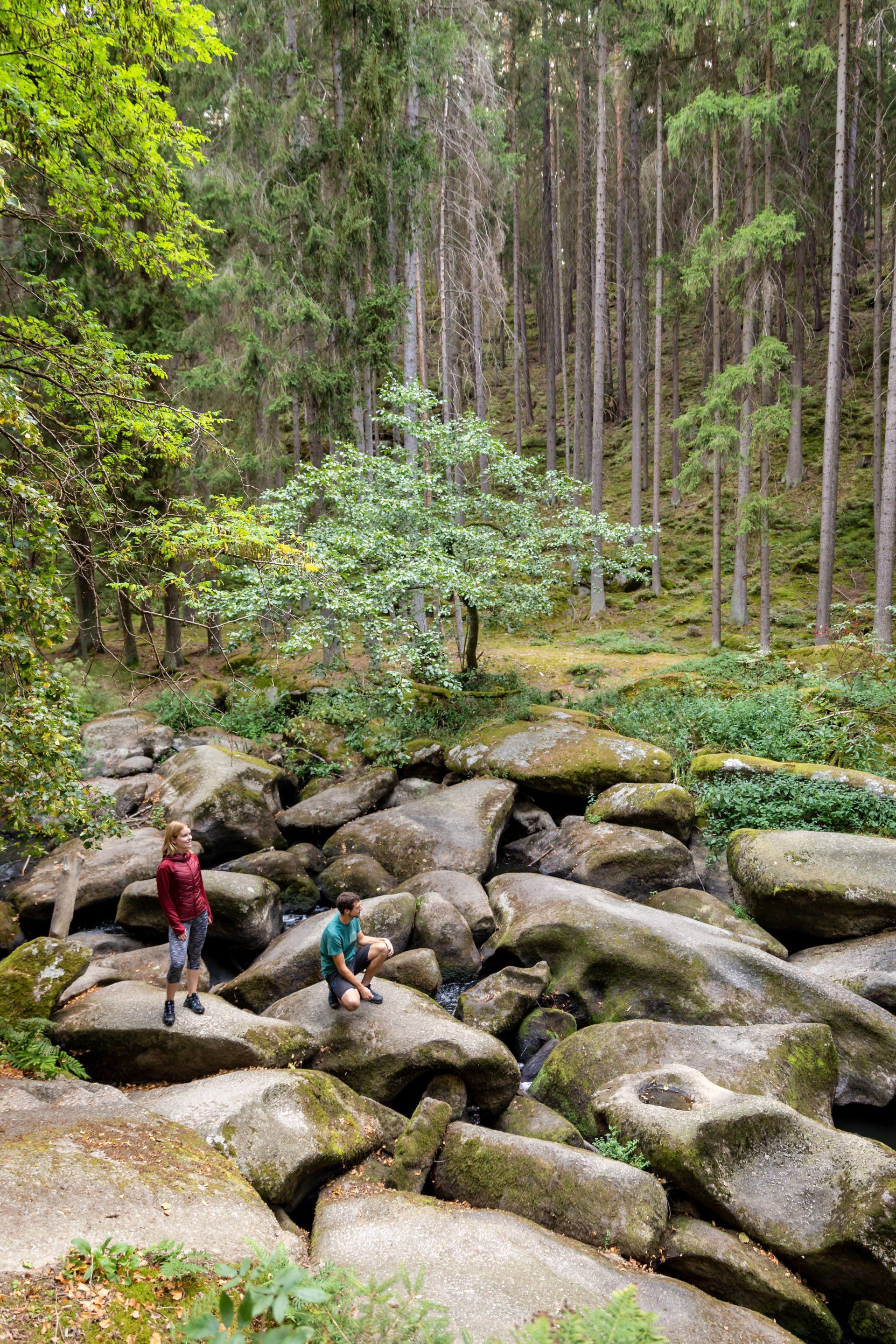
In the unique Waldnaabtal nature reserve, hikers discover picturesque rock formations and towering granite masses, 30 to 50 meters high, that line the Waldnaab riverbed. The trail descends into the valley via the Mühlnicklweiher pond. Here, approximately halfway along the circular route, lies the log cabin, known for its excellent cuisine (open March to October Tues.–Sun., closed in November, and Sat. and Sun. December to February). The riverside path leads back directly along the river. There are many things to see along the way, such as the butter churn, the sour spring, the anvil, and the chamber wagon.
MAX REGER CIRCULAR TRAIL
START/FINISH:
Birthplace, town center of Brand idOpf.
LENGTH:
14 km
ALTITUDE:
206 m
WORTH SEEING:
Max Reger's birthplace, Fichtelnaab river valley, Gregnitz, Nepomuk statue at the Fichtelnaab bridge
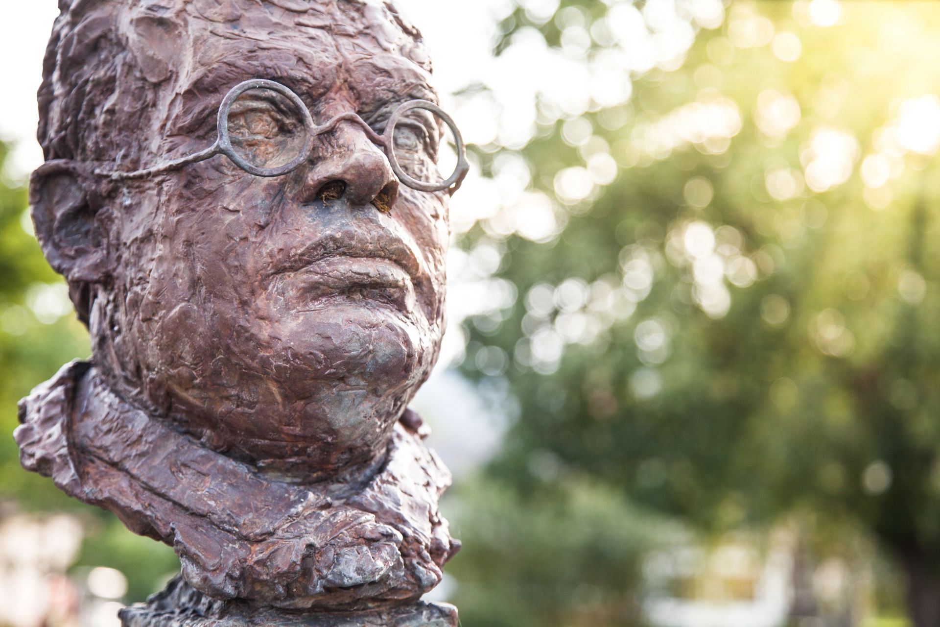
The trail begins at the birthplace of composer Max Reger (1873–1916) and leads over a hill down into the Fichtelnaab Valley. Distant views, mighty granite boulders, and a riverbed of the Gregnitz River reshaped by beavers make for a varied hike. Along the circular trail, hikers will encounter four panels with information about the life of Max Reger.
SOUTHG: SECTION WALDHAUS – WIESAU
START/FINISH:
Waldhaus im Steinwald / Wiesau train station
LENGTH:
17.4 km
ALTITUDE:
198 m
WORTH SEEING:
Forest house with information point, red deer enclosure, Frauenreuther Weiher, Wiesauer Teichpfanne
The hike along the Goldsteig trail leads from the Waldhaus in the Steinwald Nature Park past the red deer enclosure via Frauenreuth, Friedenfels, the fishing villages of Muckenthal and Kornthan to the large pond area of the Wiesauer Senke.
The total distance of the southern route is 68 kilometers from Neuenmarkt – Gössenreuth – Bad Berneck – Goldmühl – Brandholz – Warmensteinach – Kreuzstein – Klausenturm – Bayreuther Haus – Plößberg – Immenreuth – Kulmain – Armesberg – Trevesen – Waldhaus to Wiesau.
KASTLER HIKING TRAILS
The municipality of Kastl, located near the town of Kemnath, is ideal for hikes between castles and volcanoes. The landmark of this area is the Rauher Kulm basalt cone. This and many other peaks offer views far across the Upper Palatinate Forest, into the Fichtel Mountains to the north, the Steinwald Forest, and the Hessenreuth Forest. Here, you can choose to take a leisurely circular hike or explore the area actively, with a few ascents. Starting points: Kastl and Weha hiking parking lots.
TOUR OVERVIEW:
- Kastler mountain tour (8 kilometers)
- Kastler Castle Tour (13 km)
- Troglau Tour (9 km)
- Tour on the Rauher Kulm (10 km, from Weha 6 km)
HUNTER'S TRAIL IN THE FLÖTZTAL
START/FINISH:
Ahornberg hiking car park, Immenreuth
LENGTH:
15 km
ALTITUDE:307 m
WORTH SEEING:
Flötztal, Rotenfels, Klausenturm, Waldhaus Mehlmeisel Wildlife Park, Flötztal Spring
The beautiful Flötztal Valley stretches between Immenreuth and Mehlmeisel, along the Flötzbach stream of the same name. Starting at the hiking car park between Ahornberg and Hölzlmühle (near Immenreuth), hikers reach the 10-meter-high Rotenfels after just a few kilometers. Iron was once mined here in the Middle Ages. The route continues into the Fichtel Mountains, to the Klausenturm tower and a wildlife park near Mehlmeisel. Part of the tour follows the Jägersteig trail.
Want to see all the hiking trails at a glance? Order free hiking maps and flyers.
Discover the entire hiking region of the Steinwald, including the Upper Palatinate Forest and the Fichtel Mountains.


