


Overview of cycle paths
Discover our well-developed cycle paths between cliffs, historic castles, countless ponds, and volcanoes!

STEINWALD-RADWEG
FLATLY
LENGTH: 63 km
Route
LENGTH: 63 km
ALTITUDE: 672 m
WORTH SEEING:Haferdeckmühle Friedenfels, Kornthaner Weiher, Wiesau forest lakes, Maria Hilf Fuchsmühl pilgrimage church
Have you always wanted to walk around an entire nature reserve? In the Steinwald Forest, this is possible over a 63-kilometer route. The path is almost entirely paved and leads through the pond landscape near Wiesau and the pilgrimage site of Fuchsmühl, among other places.

FICHTELNAAB CYCLE PATH
START/FINISH:
Bischofsgrün – Windischeschenbach
LENGTH: 43 km
Route
LENGTH: 43 km
ALTITUDE: 414 m
WORTH SEEING:Fichtelsee, Fichtelnaabtal, GEO-Center at the Continental Deep Drilling Site, Kommunbrauhaus and Zoiglstuben in Windischeschenbach
From Fichtelberg, the route is approximately 43 kilometers long and leads to the Zoigl capital of Windischeschenbach. The route takes you through the birthplace of composer Max Reger and past the Continental Deep Drilling Project (KTB).

Vizinalbahn cycle path
START/ZIEL:
Wiesau – Bärnau
LÄNGE:
28,5 km
HÖHENMETER: 111 hm
SEHENSWERT:
Wiesauer Waldseen, Waldnaabaue Tirschenreuth mit Aussichtsturm Himmelsleiter, Fischhofpark Tirschenreuth, Geschichtspark Bärnau-Tachov, Knopfmuseum Bärnau
Auf einer historischen Bahntrasse kannst du von Wiesau über Tirschenreuth bis nach Bärnau radeln. Die 28,5 Kilometer lange Strecke führt durch das Naturschutzgebiet Waldnaabaue.

VULKANTOUR KEMNATHER LAND
FLATLY
LENGTH:59 km
ALTITUDE:787 m
WORTH SEEING:Kemnath town square, Kemnather Teichpfanne, Schlossberg with Waldeck castle ruins, Rauher Kulm, Kemnather Land nature adventure pool near Immenreuth
The volcanoes around the Steinwald forest are long extinct. However, the basalt cones offer excellent views, especially of the Kemnath Teichpfanne and the Gabellohe nature reserve. The nearly 60-kilometer circular trail leads up to the volcanic cones, making for a challenging climb.

CARP CYCLE PATH KEMNATHER LAND
FLATLY
LENGTH:23.5 km
ALTITUDE:
212 m
VIEWING:Kemnath pond, fantastic carp, Hirschberg and Heidweiher nature reserve
The Kemnath Carp Cycle Route is set in a magnificent volcanic landscape with over 400 ponds and leads through Kötzersdorf, Beerhof, Immenreuth, Kulmain, Altensteinreuth, and Schönreuth back to Kemnath. Along the way, you'll pass some of the many colorfully painted fish sculptures dotted throughout the Tirschenreuth district.

KULMAINER RADWEG
FLATLY
LENGTH:
21.4 km
ALTITUDE: 451 m
WORTH SEEING:Basalt cone Armesberg with pilgrimage church "To the Holy Trinity" and Stations of the Cross
On the Kulmain Cycle Route, you can experience the geological history of the Kemnater Land. The route connects the geological features. It passes by aPorphyry quarry, marble quarry, and a basalt quarry. After the Oberwappenöster railway tunnel, we head to the highlight of the bike tour, the Armesberg at an altitude of 731 meters.

WALLENSTEIN CYCLE PATH / SOUTH ROUTE
START/FINISH:Waldershof – Cheb (Eger)
LENGTH:44.2 km
ALTITUDE: 478 m
WORTH SEEING:Waldershof Castle, Auenpark and Marktredwitz Old Town, Porcelain Museum and Zoiglstuben Mitterteich, Abbey Basilica and Waldsassen Monastery with Abbey Library, town centre and old garden show grounds of Eger/Cheb
The Wallenstein Cycle Path was created for the 2006 Marktredwitz–Cheb (Eger) State Garden Show and connects the town of Marktredwitz on a scenic cross-border route. The cycle path connects the towns of Waldershof, Marktredwitz, Pechbrunn, Mitterteich, Hofteich, Altenhammer, and Waldsassen, partly along old railway lines, with the Czech towns of Slapany and Cheb (Eger).

WALDNAABTAL-RADWEG
START/FINISH:Silberhütte near Bärnau – Unterwildenau
LENGTH:83.3 km
ALTITUDE: 578 m
WORTH SEEING:Borderland Tower and Bärnau-Tachov History Park in Bärnau, Fischhofpark Tirschenreuth, Falkenberg Castle, Waldnaabtal Nature Reserve, Neuhaus Castle, Old Town of Weiden id OPf.
Experience the legendary Waldnaab Valley, also known as the "Upper Palatinate Grand Canyon." The route runs along the Waldnaab River and begins at its source at the Silberhütte (silver hut) north of Flossenbürg. The 86-kilometer trail ends in Unterwildenau, where the Haidenaab and Waldnaab rivers flow into the Naab.

ZOIGL CYCLE PATH / ZOIGLTOUR
START/ZIEL: Mitterteich – Eslarn
LÄNGE: 109,7 km
HÖHENMETER: 1259 hm
SEHENSWERT: Kommunbrauhäuser, Zoiglstuben, Naturschutzgebiet Waldnaabtal
Der Radweg verbindet die fünf bedeutenden Kommunbrauhäuser des Zoigls. Das Kultbier ist nur in der nördlichen Oberpfalz zu finden und ein fester Bestandteil der Traditionen. Ab Mitterteich führt die Strecke über Windischeschenbach, dessen Ortsteil Neuhaus und Neustadt a.d. Waldnaab nach Vohenstrauß mit Ziel in Eslarn.

LEUCHTENBERGER TOUR
FLATLY
LENGTH:360 km
ALTITUDE:
3,435 m
WORTH SEEING:
Old Town Weiden, Auenpark Marktredwitz, Waldnaabtal Nature Reserve, Leuchtenberg Castle Ruins
This multi-day tour, shaped like a figure of eight, takes cyclists on the trail of the Leuchtenberg family. They were once considered the most important landgrave dynasty in the Upper Palatinate. The route leads from Weiden in der Oberpfalz to the basalt cone of Parkstein, all the way north to the town of Marktredwitz. From there, it heads south again to Waldsassen, past Tirschenreuth, and through the Waldnaab Valley.In Neustadt ad Waldnaab the tour turns east towards Flossenbürg and Leuchtenberg.

UPPER PALATINATE CYCLING WORLD
Six adventure worlds, ranging in length from 85 to 155 kilometers, connect the cycling network of the entire Upper Palatinate Forest. Three of the six theme worlds run through the Stiftland and Steinwald forests: "Forest & Valleys," "Zoigl & Fish," and "Volcanoes and Earth History."

MTB: STEINWALD TRAIL ROUND
FLATLY
START/FINISH:Pfaben near Erbendorf
LENGTH:
25.6 km
ALTITUDE:
630 m
WORTH SEEING:
Red deer enclosure, Weißenstein castle ruins, Upper Palatinate tower, Zipfeltannenfelsen, robber and bird rocks
The new Steinwald Trail leads to the highlights of the nature park – via forest paths and single trails.
The nature park is excellently accessible. Those who want more kilometers and incline can extend the circuit to the southwest, where the climbing crags are located.
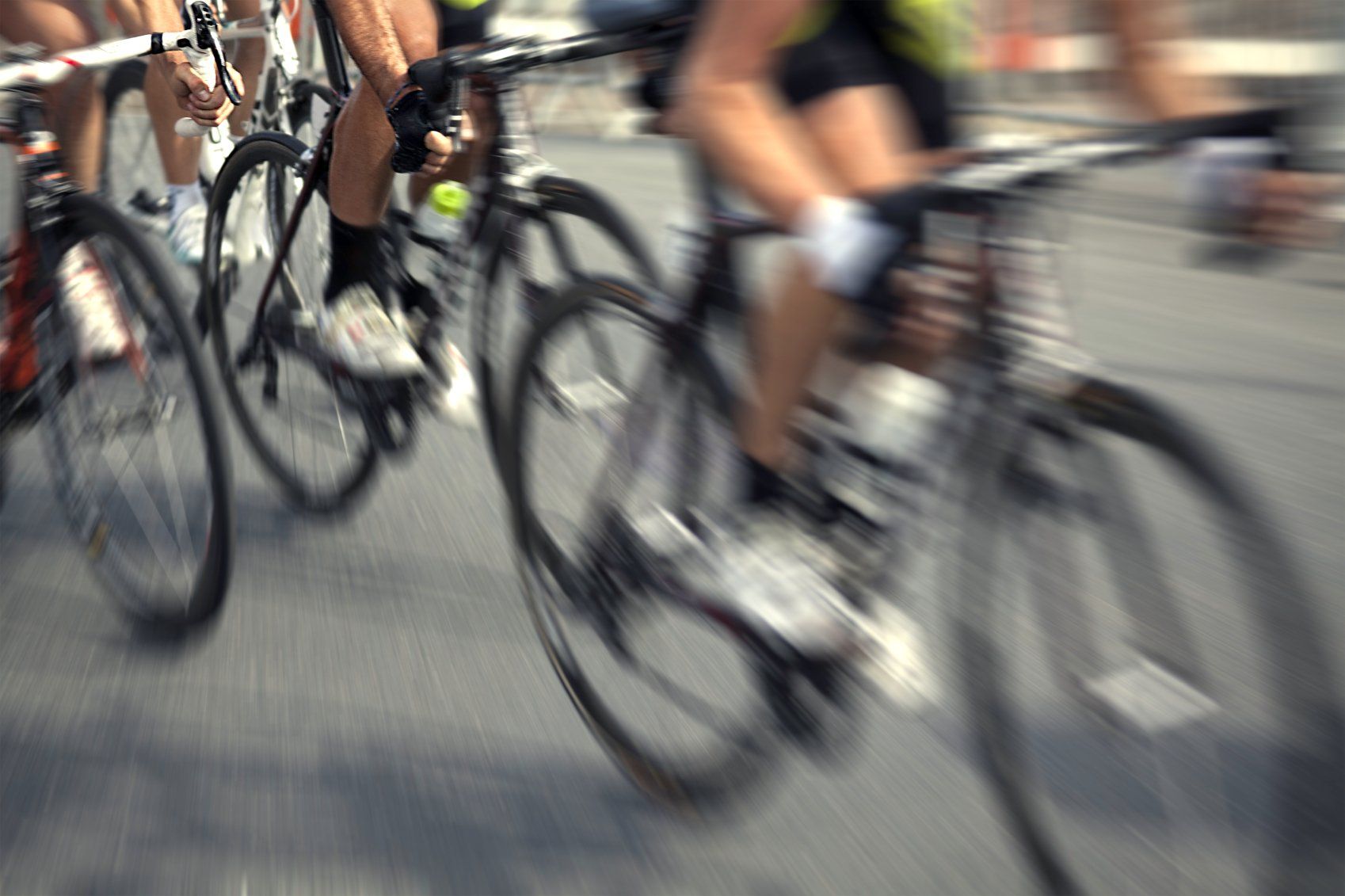
ROAD CYCLING
The southern Fichtelgebirge has a lot to offer road cyclists. New road bike tours have recently been launched through the Fichtelgebirge. Some of these routes also lead through the Steinwald region. For more information, click on the individual tours.
TOUR OVERVIEW:
Tour portal: All cycle routes at a glance
Discover all the cycling routes and tour suggestions in the Steinwald Forest on our portal. The tour portal provides all the information you need: from key data such as the route and elevation profile to downloading GPX data for your speedometer.
On the road with the bike and excursion buses
Zwischen 1. Mai bis 31. Oktober fahren die Rad- und Ausflugsbusse Naabtal- und Grenzland-Express zweimal pro Tag an allen Wochenenden und Feiertagen durch den Landkreis Tirschenreuth und bis nach Cheb (Eger). Der Anhänger kann bis zu 16 Räder transportieren.
E-bike rental & charging stations
Want to explore the Steinwald in a relaxed manner, without having to pedal hard and end up drenched in sweat? It's easy in the Steinwald! Simply rent an e-bike and accessories locally! This way, you can plan longer routes without fear of failure.
Do you need cycling maps?
We will send you information material free of charge.
Zur Prospektbestellung
We will send you information material free of charge.
